Over the past three or four days we have had some large, wicked storm cells move through the area. I had just emptied the dinghy of rain water yesterday morning and helped our friend Jay of Knot Working off the dock for his trip south. (Jay ended up coming back a few hours later due to some rigging issues, a lazy jack that got lazy and a stack pack that, well… wouldn’t stack.)
Mean time, the water was pumped out using a small bilge pump I keep around, attached to a solar panel. Doesn’t a quick job for me, at 800 gallons per hour, it will empty the dinghy quickly.
The rain hit hard yesterday between 4 and 5 pm and it was… to say the least a HEAVY downpour.
Fortunately, I’ve repaired a lot of the little leaks and have now placed new paint on the deck and topsides of the cabin. It needed it badly. There was no wax left, and if you touched the surface the white would rub off onto your hands. I think the pain helped to bead the water up and roll it off the sides now.
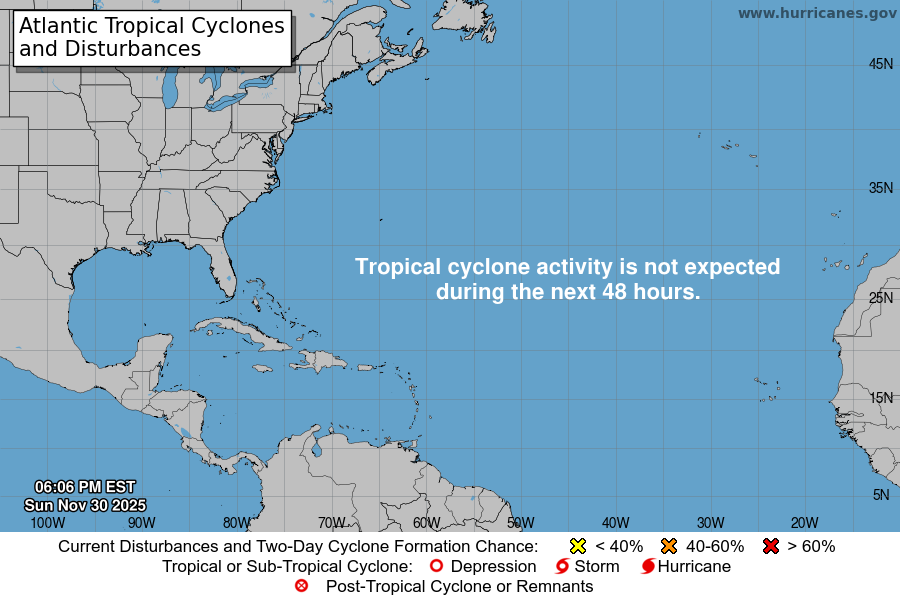
So this morning I wake up to this little image:

Not nice, but perhaps not bad, yet.
Harvey, the red X on the lower left is already a “remnant” of a hurricane. Disturbance 2 (Invest 92) is on the center and aiming at Bahamas. Disturbance 3 is headed towards Bermuda.
Harvey has a chance to restrengthen in the new few hours and regain it’s notoriety as a tropical cyclone once again.
The other two each have a roughly 10% chance of cyclone formation in the next 24 hours.
I watch “Mike’s Weather Page” and NOAA, as well as the various “spaghetti models” tending to rely more heavily on the EURO model. I also look at the US weather patterns and the fronts and highs/lows coming across along with their timing with the arrival of a storm system. It’s not an exact science for me – since my training is mesoscale and not things like hurricanes, but I’m learning.
Below is an image of the various models and how they are coming together:

And this is a satellite image of the same region over the past few hours. Obviously, it isn’t quite to the point of rotation, and if it makes landfall before that starts, it will weaken significantly and dump a lot of rain, some straight line winds and make a mess of things in the Bahamas.

So for my friends currently in the Bahamas, keep your eyes and ears open.


